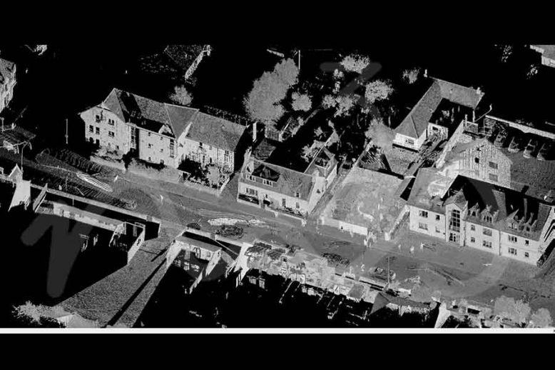
As Built SurveyBlogCapturing Reality - RealityCaptureLand SurveyingLaser ScanningLeica GeosystemsLeica RTC360Measured Building SurveyP40 Laser ScannerScan2Bim Haunted Basement - Laser Scan Measured Survey

Measured Building Surveys – Happy Halloween

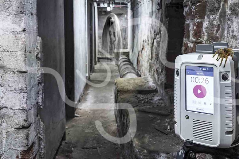
Measured Building Surveys – Happy Halloween   Measured Building Surveys – Happy Halloween allow our scanning teams to access some rather interesting and spooky places. With basements, attics to abandoned factories the team at M3S have all enjoyed exploring these areas while scanning to allow for a complete survey to aid the creation of plans…

Read article
BlogLaser Scanning Leica Cyclone - Point Cloud Registration

Leica Cyclone 9.4.2 – Latest Point Cloud Registration Software Release

Leica Cyclone 9.4.2 etc is the most recent version of the software that M3S Surveys Limited is currently using. This latest version has additional support for the Leica RTC360 and some improved ortho photo creation tools. Lorem ipsum dolor Suspendisse rutrum tortor justo, eu sollicitudin nisl pretium et. In a elit ligula. Curabitur ut felis…

Read article
BlogLaser ScanningLaser Scanning ScotlandLeica Geosystems Leica Geosystems Road Show - Laser Scanning, Leica Geosystems Reality Capture Road Show – Hopetoun House, Edinburgh

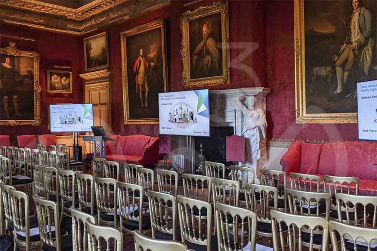
Leica Geosystems Reality Capture Road Show – Hopetoun House, Edinburgh

The Leica Geosystems team were at Hopetoun House near Edinburgh on Thursday 14th November 2019 – they had a full range of kit from GPR, Laser Scanners, Mobile Mapping, UAV, GNSS and the new BLK2GO handheld scanning device.. Leica Aibot AX20 UAV A great bit of kit combining Leica GNSS, Sony digital camera and the…

Read article