3D Model3D SurveyAs Built SurveyBlogDigital TwinLaser Scan Measured Building SurveyLaser ScanningMeasured Building SurveyReality CaptureRevit ModelScan2Bim 3D Survey - Laser Scanning Point Cloud For Revit

3D Survey – Laser Scanning Point Cloud For Revit Model

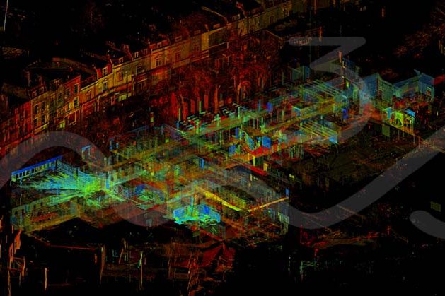
3D Survey – Laser Scanning Point Cloud For Revit Model The M3S team have spent years using and improving our work flows with for laser scanning, 3D Survey – Laser Scanning Point Cloud for Revit Model. From on site, registration software, QC to production for plans, elevations, cross sections, topo and Revit models. In addition…

Read article
As Built Laser Scan SurveyAs Built SurveyBlogCPDCyclone 360Cyclone CoreDigital TwinE-LearningLaser Scan Measured Building SurveyLaser ScanningLeica GeosystemsLeica RTC360P40 Laser ScannerReality CaptureScan2BimSoftware Tutorials Lunch & Learn Session 2: Unleash the power of Leica Cyclone, CloudWorx, TruView and JetStream for your Reality Capture projects

Lunch & Learn Session 2: Unleash the power of Leica Cyclone, CloudWorx, TruView and JetStream for your Reality Capture projects

Leica Geosystems Webinar – Leica Cyclone, CloudWorx, TruView and JetStream for your Reality Capture projects Leica have another webinar due to take place on Thursday, 2nd April at 130pm (GMT). As we primarily use Leica Cyclone to process our scan data the team are looking forward to it.   Register Here – https://register.gotowebinar.com/register/7228639546898951436

Read article
3D ModelAs Built SurveyBlogCapturing Reality - RealityCaptureCPDE-LearningPhotogrammetryReality CaptureSoftware Tutorials Capturing Reality – RealityCapture Tutorials (e-learning from home)

Capturing Reality – RealityCapture Tutorials (e-learning from home)

Capturing Reality – RealityCapture for 3D Model (Photogrammetry) For those that are in lock down and working from home why not try a new bit of software out and have a break from the current tasks to split the day up. One of our team members is currently going through the Capturing Reality tutorials before…

Read article

What Is An As built Survey?

As Built Surveys – Laser Scanning & Photogrammetry for Reality Capture To Create As Built Drawings & 3D Models This blog post / article is aimed at various questions that arise from the term “As Built” within the surveying industry.  There are several other buzz words associated with as-built surveys, including Reality Capture, Scan2BIM,  Laser…

Read article
As Built SurveyBlogDigital TwinInterurban DevelopmentsLaser Scan Measured Building SurveyLaser ScanningLeica GeosystemsLeica RTC360Measured Building SurveyP40 Laser ScannerReality CaptureRevit ModelScan2BimTown Planning Scotland Reality Capture - As Built Survey Using Leica P40 & Leica RTC360 Laser Scanners

As Built Survey – Reality Capture, Digital Twin, Scan2BIM or Measured Building Survey?

As Built Survey – Reality Capture, Digital Twin, Scan2BIM or Measured Building Survey? As built surveys can often be described as “Reality Capture”, “Digital Twin”, “Scan2BIM” or “Measured Building Survey”.  With each terms true definition varying depending on who you speak to. Ultimately all the previously mentioned titles are products that can be created from…

Read article
BlogLaser Scan Measured Building SurveyLaser ScanningLaser Scanning LeedsLaser Scanning UKLeica GeosystemsReality CaptureScan2Bim Leica RTC360 and Leica P40 laser scanners

Scan2Bim – Leica P40 & Leica RTC360

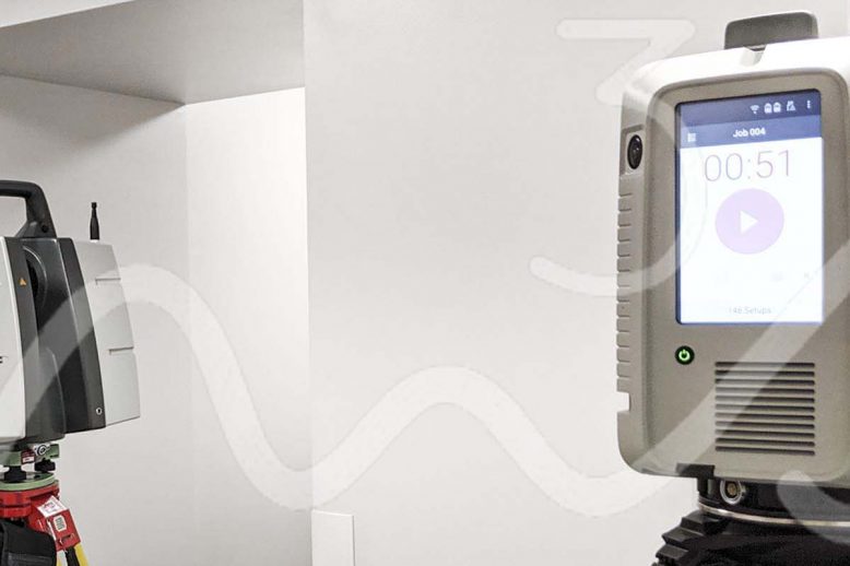
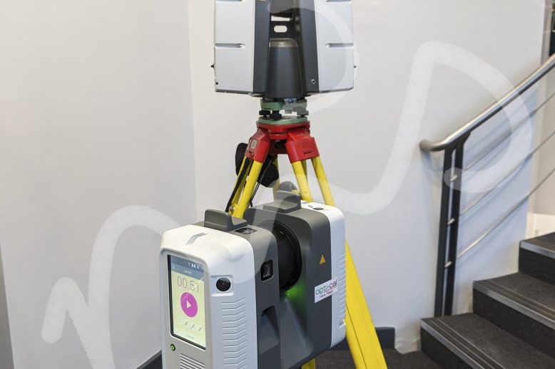
The Leica RTC360 is one of the best measured building surveying laser scanners on the market.  With scan times as low was 30 seconds it is a game changer.  Partnered up with the Leica P40 – they are a dream team on larger measured building surveys.

Read article