3D Model3D SurveyAs Built SurveyBlogDigital TwinLaser Scan Measured Building SurveyLaser ScanningMeasured Building SurveyReality CaptureRevit ModelScan2Bim 3D Survey - Laser Scanning Point Cloud For Revit

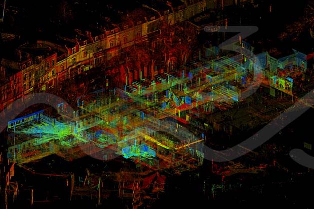
3D Survey – Laser Scanning Point Cloud For Revit Model

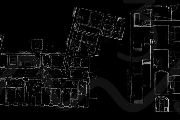
3D Survey – Laser Scanning Point Cloud For Revit Model The M3S team have spent years using and improving our work flows with for laser scanning, 3D Survey – Laser Scanning Point Cloud for Revit Model. From on site, registration software, QC to production for plans, elevations, cross sections, topo and Revit models. In addition…
Read article
3D ModelAs Built 2D CAD DrawingsAs Built 3D Revit ModelAs Built Laser Scan SurveyAs Built SurveyAs Built SurveyBlogLaser ScanningMeasured Building SurveyRevit Model Laser Scan - As Built Survey

As Built Survey – Laser Scanning & Photogrammetry (Reality Capture)

The M3S Surveys Ltd team have been utlising laser scanners for the last 10+ years. With rapid advances in technology and software with both instruments and computing power the team have always kept up to date with this. While constantly reviewing and improving workflows in the field and within the software. There are a range…

Read article
3D ModelAEC (Architecture Engineering Construction)As Built 2D CAD DrawingsAs Built 3D Revit ModelAs Built Laser Scan SurveyAs Built Measured SurveyAs Built SurveyAs Built SurveyDo You An As Built Survey?Laser Scan Measured Building SurveyLaser ScanningMEP (Mechanical, Electrical, and Plumbing)Revit ModelWhat Is An As Built Survey?Who Does An As Built Survey? AEC & MEP Laser Scanning and Model

AEC & MEP Laser Scanning and Model

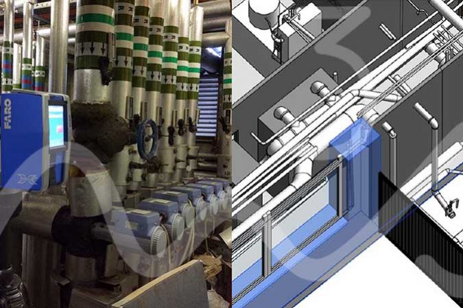
AEC & MEP: AEC (Architecture Engineering Construction) & MEP (Mechanical, Electrical, and Plumbing) AEC & MEP: Laser scanning allows for a rapid, safe and high-quality survey grade data capture of the built environment including those complex plant rooms for AEC & MEP projects.  Whether you work within urban planning, architecture, engineering and need as built…

Read article
As Built SurveyBlogDigital TwinInterurban DevelopmentsLaser Scan Measured Building SurveyLaser ScanningLeica GeosystemsLeica RTC360Measured Building SurveyP40 Laser ScannerReality CaptureRevit ModelScan2BimTown Planning Scotland Reality Capture - As Built Survey Using Leica P40 & Leica RTC360 Laser Scanners

As Built Survey – Reality Capture, Digital Twin, Scan2BIM or Measured Building Survey?

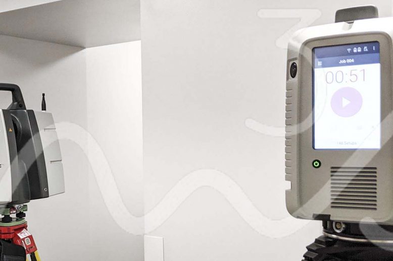
As Built Survey – Reality Capture, Digital Twin, Scan2BIM or Measured Building Survey? As built surveys can often be described as “Reality Capture”, “Digital Twin”, “Scan2BIM” or “Measured Building Survey”.  With each terms true definition varying depending on who you speak to. Ultimately all the previously mentioned titles are products that can be created from…

Read article