As Built SurveyBlogInterurban DevelopmentsLand & Property SaleLand SurveyingLand Surveyor ScotlandLaser Scan Measured Building SurveyLaser ScanningPlanning ApplicationsPlanning PermissionTopo Survey & Elevation Drawings For Planning ApporvalTown Planning Scotland InterUrban Developments Ltd – Planning Permission & Development

InterUrban Developments Ltd – Planning Permission & Development

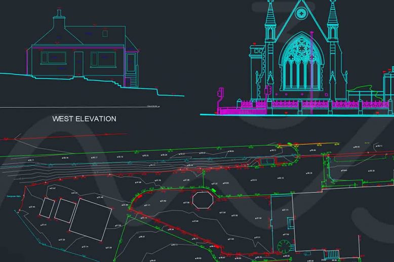
InterUrban Developments Ltd – Planning Permission & Development   M3S Surveys Ltd have been carrying out various land surveying and laser scanning services for InterUrban Developments Ltd – Planning Permission & Development. The following products were required: Topographical Survey Elevation Drawings 3D Model LGS & TruView From the products M3S Surveys delivered. The files &…

Read article
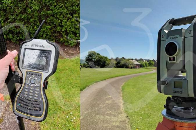
As Built SurveyBlogLand & Property SaleLand SurveyingLand Surveyor ScotlandLand Surveyor YorkPlanning ApplicationsTopo SurveyTopo Survey EnglandTopo Survey Northern IrelandTopo Survey ScotlandTopo Survey WalesTopo Survey YorkTopographical SurveyTown Planning Scotland Trimble Total Station - Topographical Survey

Topo Survey, UK (Scotland, England, Wales, Northern Ireland)

Planning Applications – more than just filling in a form! At M3S Surveys Ltd the team has years of experience carrying out measured building and topographical surveys for planning applications. From small dwellings, country manors, University campuses to historical buildings. From the survey data collected our team can produce a wide range of digital products…

Read article
As Built 2D CAD DrawingsAs Built 3D Revit ModelAs Built Laser Scan SurveyAs Built SurveyBlogLand & Property SaleLand AcquisitionLaser Scanning ScotlandPlanning ApplicationPlanning ApplicationsPlanning PermissionTopo Survey & Elevation Drawings For Planning ApporvalTown Planning Scotland Laser Scanning & Traditional Surveying Role In Planning Applications - Building Elevations and topographical surveys

Laser Scanning & Traditional Surveying Role In Planning Applications

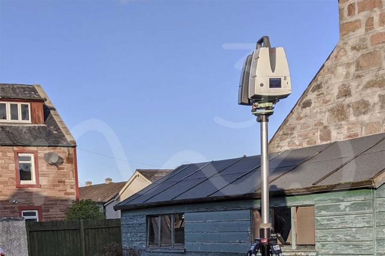
Planning Applications – more than just filling in a form! Planning applications can be quite a challenge, espeically when dealing with listed buildings. Laser Scanning & Traditional Surveying Role In Planning Applications has over the last few years become an essential combo for many surveyors.  Using the total station to establish survey control and the…

Read article

What Is An As built Survey?

As Built Surveys – Laser Scanning & Photogrammetry for Reality Capture To Create As Built Drawings & 3D Models This blog post / article is aimed at various questions that arise from the term “As Built” within the surveying industry.  There are several other buzz words associated with as-built surveys, including Reality Capture, Scan2BIM,  Laser…

Read article
BlogInterurban DevelopmentsLand & Property SaleLand AcquisitionLaser ScanningLaser Scanning ScotlandTown Planning Scotland Urban Planning - Laser Scanning (Topo Survey, Elevations, 3D Revit Model)

InterUrban Developments Ltd – Laser Scanning for Topographical Survey, TruViews & Elevations

Recently, M3S Surveys Ltd were contacted by Interurban Developments to carry out a site survey in Inverness. The following products were required: Topographical Survey Elevation Drawings 3D Model From the products M3S Surveys delivered. The files & data were passed on to other professionals including a drainage engineer, architect and town planner. Interurban Developments Ltd…

Read article