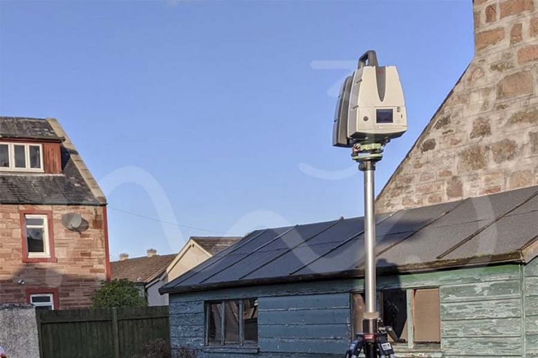
As Built SurveyBlogDigital TwinInterurban DevelopmentsLaser Scan Measured Building SurveyLaser ScanningLeica GeosystemsLeica RTC360Measured Building SurveyP40 Laser ScannerReality CaptureRevit ModelScan2BimTown Planning Scotland Reality Capture - As Built Survey Using Leica P40 & Leica RTC360 Laser Scanners

As Built Survey – Reality Capture, Digital Twin, Scan2BIM or Measured Building Survey?

As Built Survey – Reality Capture, Digital Twin, Scan2BIM or Measured Building Survey? As built surveys can often be described as “Reality Capture”, “Digital Twin”, “Scan2BIM” or “Measured Building Survey”.  With each terms true definition varying depending on who you speak to. Ultimately all the previously mentioned titles are products that can be created from…

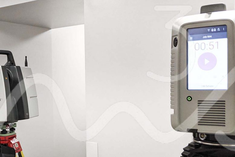
Read article
BlogInterurban DevelopmentsLand & Property SaleLand AcquisitionLaser ScanningLaser Scanning ScotlandTown Planning Scotland Urban Planning - Laser Scanning (Topo Survey, Elevations, 3D Revit Model)

InterUrban Developments Ltd – Laser Scanning for Topographical Survey, TruViews & Elevations

Recently, M3S Surveys Ltd were contacted by Interurban Developments to carry out a site survey in Inverness. The following products were required: Topographical Survey Elevation Drawings 3D Model From the products M3S Surveys delivered. The files & data were passed on to other professionals including a drainage engineer, architect and town planner. Interurban Developments Ltd…

Read article