As Built SurveyBlogInterurban DevelopmentsLand & Property SaleLand SurveyingLand Surveyor ScotlandLaser Scan Measured Building SurveyLaser ScanningPlanning ApplicationsPlanning PermissionTopo Survey & Elevation Drawings For Planning ApporvalTown Planning Scotland InterUrban Developments Ltd – Planning Permission & Development

InterUrban Developments Ltd – Planning Permission & Development

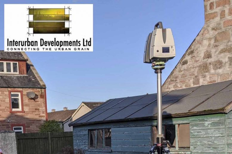
InterUrban Developments Ltd – Planning Permission & Development   M3S Surveys Ltd have been carrying out various land surveying and laser scanning services for InterUrban Developments Ltd – Planning Permission & Development. The following products were required: Topographical Survey Elevation Drawings 3D Model LGS & TruView From the products M3S Surveys delivered. The files &…

Read article
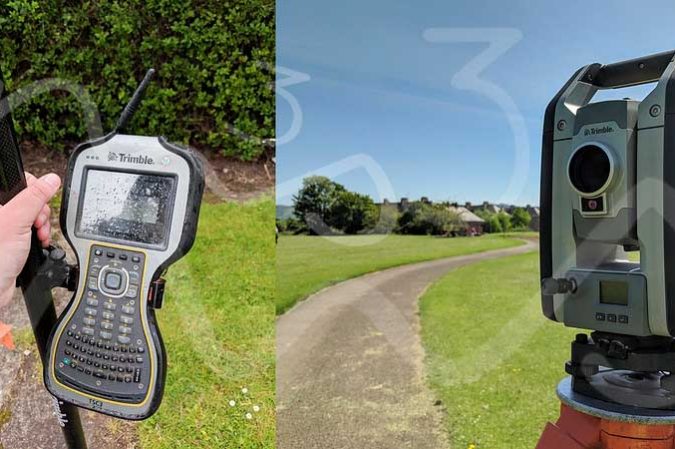
As Built SurveyBlogLand & Property SaleLand SurveyingLand Surveyor ScotlandLand Surveyor YorkPlanning ApplicationsTopo SurveyTopo Survey EnglandTopo Survey Northern IrelandTopo Survey ScotlandTopo Survey WalesTopo Survey YorkTopographical SurveyTown Planning Scotland Trimble Total Station - Topographical Survey

Topo Survey, UK (Scotland, England, Wales, Northern Ireland)

Planning Applications – more than just filling in a form! At M3S Surveys Ltd the team has years of experience carrying out measured building and topographical surveys for planning applications. From small dwellings, country manors, University campuses to historical buildings. From the survey data collected our team can produce a wide range of digital products…

Read article
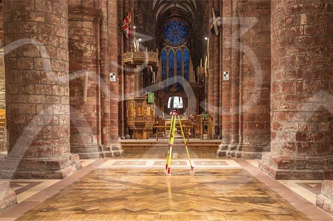
As Built 2D CAD DrawingsAs Built 3D Revit ModelAs Built Laser Scan SurveyAs Built Measured SurveyAs Built SurveyLaser Scan Measured Building SurveyLaser ScanningLaser Scanning ScotlandLaser Scanning UKPlanning ApplicationsWhat Is An As Built Survey? Leica P40 - 3D Laser Scanner

As Built Measured Building Surveys – Architects, Planners, Engineers & Conservation

  Do You Need A Topographical or Measured Building Survey – Architects, Planners, Engineers & Conservation The M3S Surveys team have years of experience carrying out small to large scale as built measured building surveys using a range techniques including laser scanning. Many of our clients are work within the built environment and are architects…

Read article
BlogLaser Scanning Leica Cyclone - Point Cloud Registration

Leica Cyclone 9.4.2 – Latest Point Cloud Registration Software Release

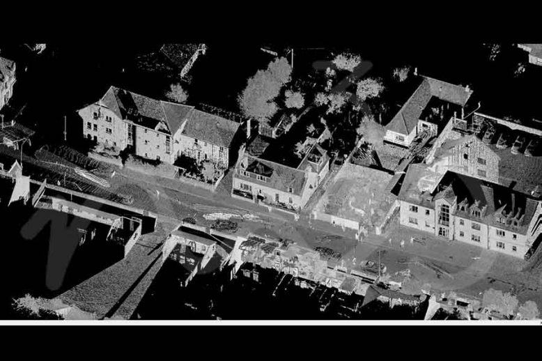
Leica Cyclone 9.4.2 etc is the most recent version of the software that M3S Surveys Limited is currently using. This latest version has additional support for the Leica RTC360 and some improved ortho photo creation tools. Lorem ipsum dolor Suspendisse rutrum tortor justo, eu sollicitudin nisl pretium et. In a elit ligula. Curabitur ut felis…

Read article