‘Photogrammetry is the art, science, and technology of obtaining reliable information about physical objects and the environment through processes of recording, measuring, and interpreting photographic images and patterns of electromagnetic radiant energy and other phenomena.’ America Society of Photogrammetry, Manual of Photogrammetry.”
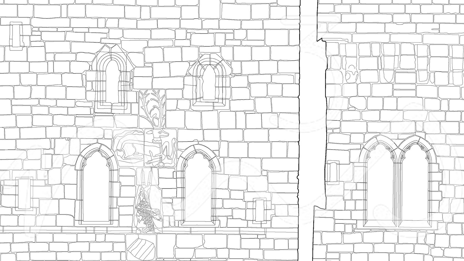
M3S Surveys has vast experience in all areas of photogrammetry beginning with camera calibrations, through image orientation, right to the delivery of final products such as vector drawings, surfaces, 3D models, rectified images and orthophotos.
Our team worked with aerial and terrestrial images captured with metric and non metric cameras. We have analyzed and utilised imagery from CCTV, High-Speed cameras and other sensors.
Common applications of photogrammetry:


