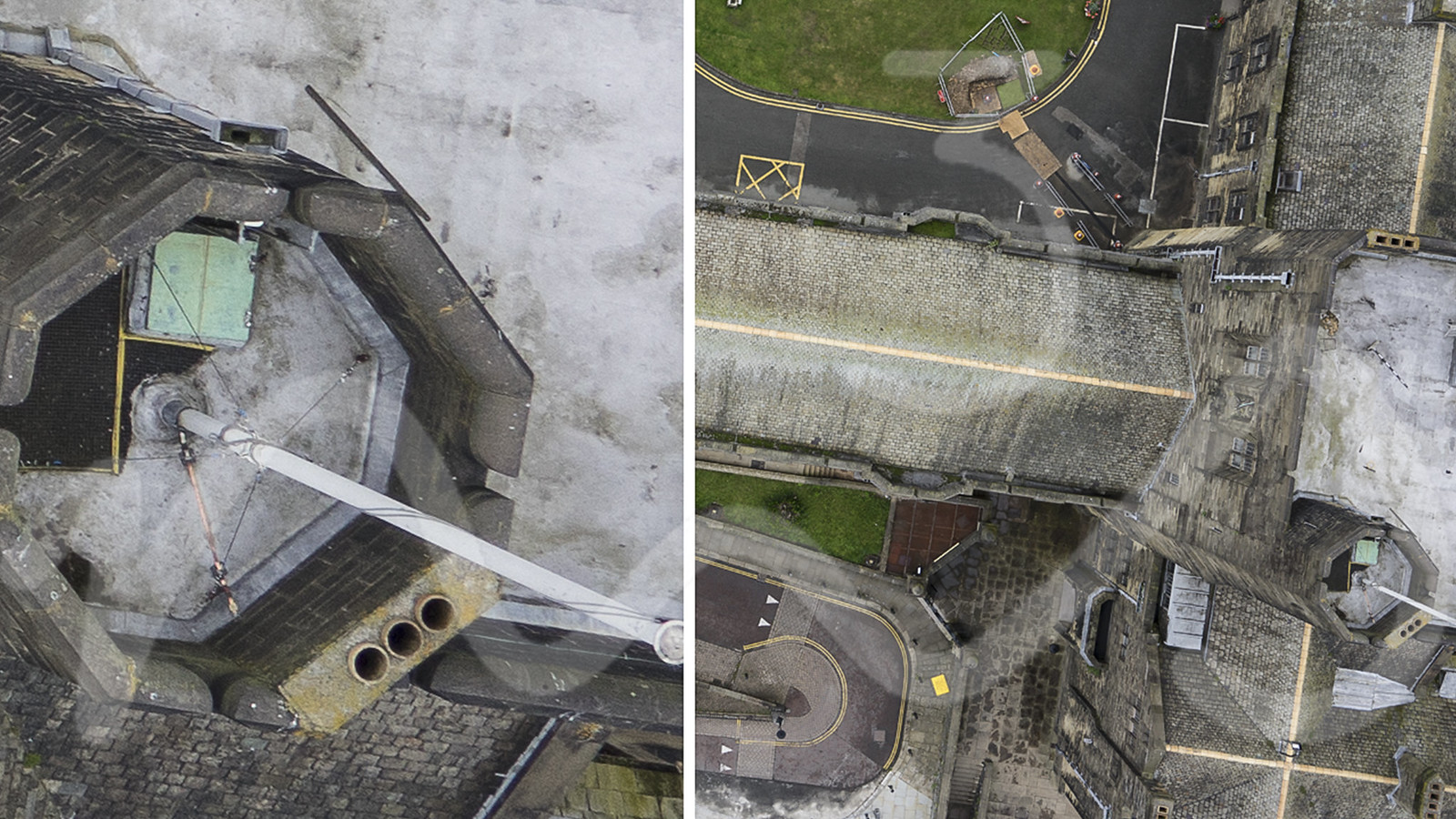
M3S Surveys has the capability to carry out accurate surveys utilising imagery captured from various airborne sensors – ranging from standard photogrammetric platforms to fixed wing and multi rotor unmanned aerial vehicles (UAV’s).
We are proficient in using processing techniques which include more traditional approaches such stereo photogrammetry as well as modern processes based on computer vision algorithms.
Our products include but are not limited to Digital Terrain Models (DTM’s), Digital Surface Models (DSM’s), orthophotography, 3D models, volumetric and vector surveys.
Accuracy of offered surveys purely depends on quality and resolution data and typically ranges from +/- 50 cm to +/- 5 mm.