What Is Laser Scanning?

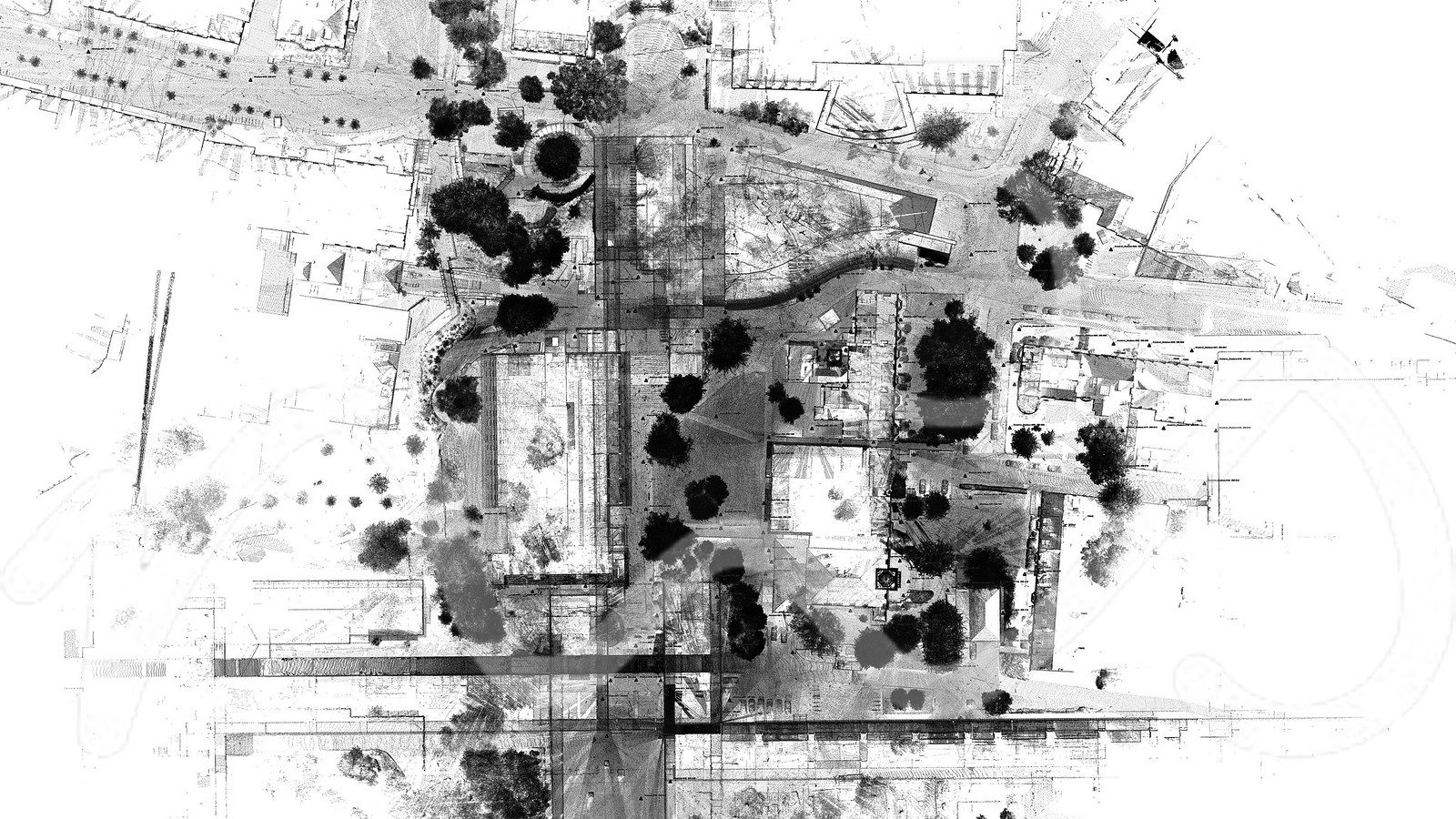
Laser scanning is a technology which is utilising laser beams to collect spatial information about surroundings of the scanner. There are many types of laser scanners on the market which can be differentiated based on their range, laser class, speed, data collection style and accuracy. One thing that all laser scanners have in common is the final desired output – a point cloud.

Point cloud is a digital set of points, located in 3D space in pre-defined coordinate system.  Each point of the cloud apart from three coordinates (XYZ) which define its precise location can have other associated information such as colour or intensity.

How Can Laser Scanning Improve Your Survey?

Laser scanning can play a significant role in various stages of your project life cycle. For example in construction industry it can aid design and construction.  It is quick, accurate and safe. M3S Surveys Ltd has over ten years scanning experience within the team. As the hardware and software evolves as do our workflows. We are constantly improving the quality and efficiency of capturing and processing LiDAR data.

  • High Quality Data

  • Rapid Data Collection

  • 3D As Built Conditions

  • Survey Grade Data

  • Point Cloud

High Quality Data

Carefully selected instruments that are calibrated on a regular basis in hands of skilled operators assure collection of best quality raw data. That followed by workflows which have been refined over the years results in accurate and complete point clouds which form foundation for further processing.

Complete Dataset – Multiple Users

Regardless whether you choose to use a BIM model or 2D plans for your design – point cloud can give you full insight into the surveyed environment from the comfort of your desk. Share one source of point cloud data with your design team, architects, engineers and other construction professionals.

Leica P40 Laser Scanner - Large Cathedral
Large Measured Building & Topo Survey (Scan to Revit)
Large University Campus - Laser Scanned To Create Topo, Revit Model & 2D Plans

Do You Need Any Laser Scanning Work Carried Out?

If you need any Laser Scanning related tasks mentioned on this page or require some further information on the range of CAD, Topographical and Measured Building Surveys that M3S carry out. We can carry out all forms of reality capture / scan 2 bim that allow for the creation of Revit models and digital twins.

Please use the form on the contact page. 

[custom-facebook-feed]

[instagram-feed]

[custom-twitter-feeds]