Do You Need A Topographical or Measured Building Survey – Architects, Planners, Engineers & Conservation
The M3S Surveys team have years of experience carrying out small to large scale as built measured building surveys using a range techniques including laser scanning. Many of our clients are work within the built environment and are architects and planners. Our models, drawings and 3D data can be viewed with easily from your the comfort of your desk.

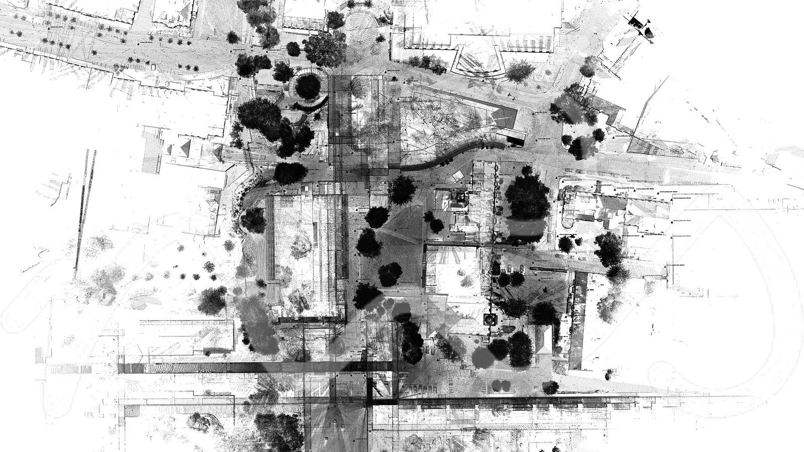
Large Measured Building & Topo Survey (Scan to Revit) – As Built Measured Building Surveys

Do You Need Any Laser Scanning Carried Out For As Built Measured Building Surveys?
If you need any Laser Scanning related tasks mentioned on this page or require some further information on the range of CAD, Topographical and Measured Building Surveys then please feel free to contact us directly via the form on the contact page or via our social media channels on Instagram, Facebook, Twitter or LinkedIn./
Desk top site visit – Jet Stream Viewer:
The following image and video are a quick snap shot of how many of our clients are using the point cloud data on their local machines – with out the need of a fancy PC or expensive software they can view, measure and take snap shots from the point cloud. This has proven extremely valuable asset for all of the professional services we supply data for. The LGS Jet Stream Viewer (free software) can load up LGS files very quickly and allow of the key stakeholders simple and instant access to the point cloud and 360 views from each scan station location. Even a simple screen grab from this to aid planning applications has proven highly cost effective.
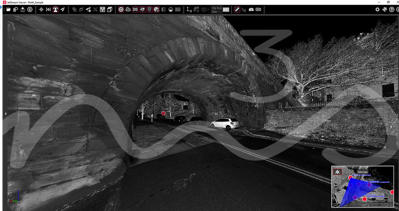
Jet Stream Viewer
Services For As Built Measured Building Surveys:
Please view the following links/pages to see further information and examples on the various services M3S Surveys Ltd offer.
Terrestrial Laser Scanning (TLS) – https://www.m3s-surveys.com/services/terrestrial-laser-scanning/
Building Surveys (MBS) – https://www.m3s-surveys.com/services/measured-building-surveys/
Topographic Surveys – https://www.m3s-surveys.com/services/topographic-surveys/
Photogrammetry – https://www.m3s-surveys.com/services/photogrammetry/
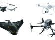
Aerial Surveys – https://www.m3s-surveys.com/services/aerial-surveys/
Spatial Data Analysis & Processing – https://www.m3s-surveys.com/services/spatial-data-analysis-processing/
Links:
3D Revit Model – https://www.autodesk.co.uk/products/revit/overview?plc=RVT&term=1-YEAR&support=ADVANCED&quantity=1
Leica P40 Laser Scanner – https://leica-geosystems.com/en-gb/products/laser-scanners/scanners/leica-scanstation-p40–p30
2D Cad Drawing – https://www.autodesk.co.uk/products/autocad/overview?plc=ACDIST&term=1-YEAR&support=ADVANCED&quantity=1