Social Media Profiles – M3S Surveys Ltd
M3S Surveys Ltd are on the following social media platforms – please click the following links and like/share follow us on our social media channels for up to date photos and videos of our current projects.
Social Media
Our Instagram page is starting to look as a bit better now with additional content added ever week:
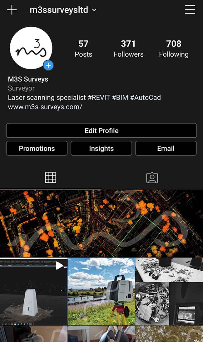
Instagram – M3S Surveys Ltd
Do You Need Any Laser Scanning or Land Surveying For Your Architect, Engineer or Planning Consultant?
The M3S Surveys Ltd team have been utlising laser scanners for the last 10+ years. With rapid advances in technology and software with both instruments and computing power the team have always kept up to date with this. While constantly reviewing and improving workflows in the field and within the software. There are a range of poducts that can be produced and delivered from laser scanned point cloud data, these include 2D drawings & 3D Revit Models (“as built survey”), TruViews, LGS JetStream, Topo Survey, Ortho Images.
Please check out our laser scanning page for more information – https://www.m3s-surveys.com/services/laser-scanning/
If you need any Laser Scanning related tasks mentioned on this page or require some further information on the range of CAD, Topographical and Measured Building Surveys that M3S carry out, please feel free to contact us directly via the form on the contact page or via our social media channels on Instagram, Facebook, Twitter or LinkedIn.
Surveying for Architect, Engineer or Planning Consultant
(Laser Scanning & Land Surveying)
Surveying for Architect, Engineer or Planning Consultant
Terrestrial Laser Scanning (TLS) – https://www.m3s-surveys.com/services/terrestrial-laser-scanning/
Building Surveys (MBS) – https://www.m3s-surveys.com/services/measured-building-surveys/
Topographic Surveys – https://www.m3s-surveys.com/services/topographic-surveys/
Photogrammetry – https://www.m3s-surveys.com/services/photogrammetry/
Aerial Surveys – https://www.m3s-surveys.com/services/aerial-surveys/
Spatial Data Analysis & Processing – https://www.m3s-surveys.com/services/spatial-data-analysis-processing/
Links:
3D Revit Model – https://www.autodesk.co.uk/products/revit/overview?plc=RVT&term=1-YEAR&support=ADVANCED&quantity=1
Leica P40 Laser Scanner – https://leica-geosystems.com/en-gb/products/laser-scanners/scanners/leica-scanstation-p40–p30
2D Cad Drawing – https://www.autodesk.co.uk/products/autocad/overview?plc=ACDIST&term=1-YEAR&support=ADVANCED&quantity=1
Social Media – Jet Stream Viewer:
The following image and video are a quick snap shot of how many of our clients are using the point cloud data on their local machines – with out the need of a fancy PC or expensive software they can view, measure and take snap shots from the point cloud. This has proven extremely valuable with in the planning process. You can also easily record video from your point cloud in Jet Stream which creates great content that can be shared on social media.
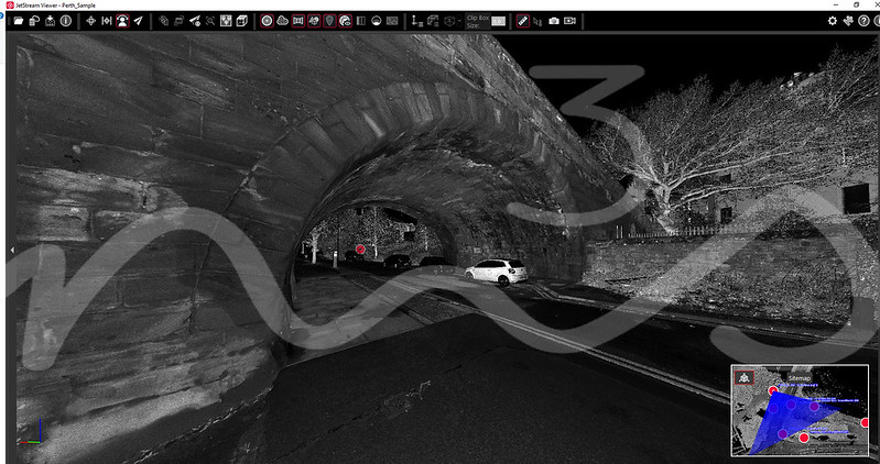
Jet Stream Viewer