As Built SurveyBlogDigital TwinInterurban DevelopmentsLaser Scan Measured Building SurveyLaser ScanningLeica GeosystemsLeica RTC360Measured Building SurveyP40 Laser ScannerReality CaptureRevit ModelScan2BimTown Planning Scotland Reality Capture - As Built Survey Using Leica P40 & Leica RTC360 Laser Scanners

As Built Survey – Reality Capture, Digital Twin, Scan2BIM or Measured Building Survey?

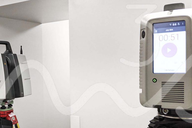
As Built Survey – Reality Capture, Digital Twin, Scan2BIM or Measured Building Survey? As built surveys can often be described as “Reality Capture”, “Digital Twin”, “Scan2BIM” or “Measured Building Survey”.  With each terms true definition varying depending on who you speak to. Ultimately all the previously mentioned titles are products that can be created from…
Read article
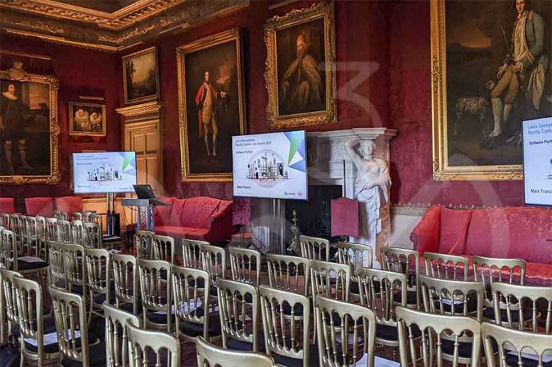
BlogLaser ScanningLaser Scanning ScotlandLeica Geosystems Leica Geosystems Road Show - Laser Scanning, Leica Geosystems Reality Capture Road Show – Hopetoun House, Edinburgh

Leica Geosystems Reality Capture Road Show – Hopetoun House, Edinburgh

The Leica Geosystems team were at Hopetoun House near Edinburgh on Thursday 14th November 2019 – they had a full range of kit from GPR, Laser Scanners, Mobile Mapping, UAV, GNSS and the new BLK2GO handheld scanning device.. Leica Aibot AX20 UAV A great bit of kit combining Leica GNSS, Sony digital camera and the…

Read article