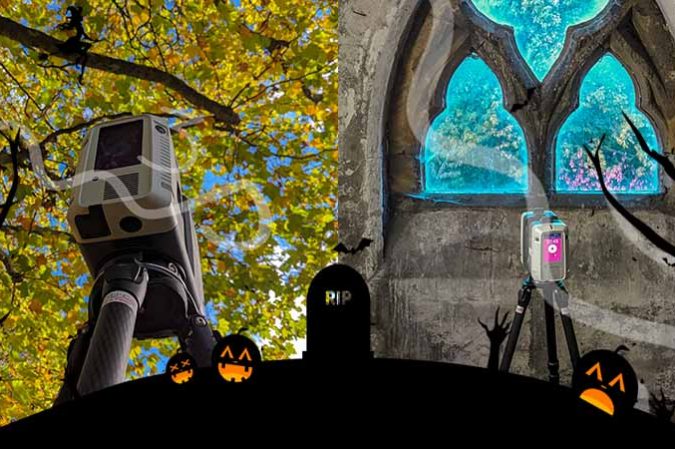
3D Model3D SurveyAs Built Laser Scan SurveyBlogLaser Scan Measured Building SurveyLaser ScanningLeica GeosystemsLeica RTC360 Halloween Laser Scanning

Laser Scanning & Measured Surveying

Laser Scanning & Measured Surveying The M3S team have spent years using and improving our work flows for laser scanning & measured surveying. From on site, registration software, QC to production for plans, elevations, cross sections, topo and Revit models. In addition to these products the laser scanning data can also be used for the…

Read article
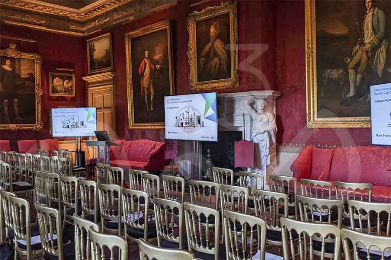
BlogLaser ScanningLaser Scanning ScotlandLeica Geosystems Leica Geosystems Road Show - Laser Scanning, Leica Geosystems Reality Capture Road Show – Hopetoun House, Edinburgh

Leica Geosystems Reality Capture Road Show – Hopetoun House, Edinburgh

The Leica Geosystems team were at Hopetoun House near Edinburgh on Thursday 14th November 2019 – they had a full range of kit from GPR, Laser Scanners, Mobile Mapping, UAV, GNSS and the new BLK2GO handheld scanning device.. Leica Aibot AX20 UAV A great bit of kit combining Leica GNSS, Sony digital camera and the…

Read article