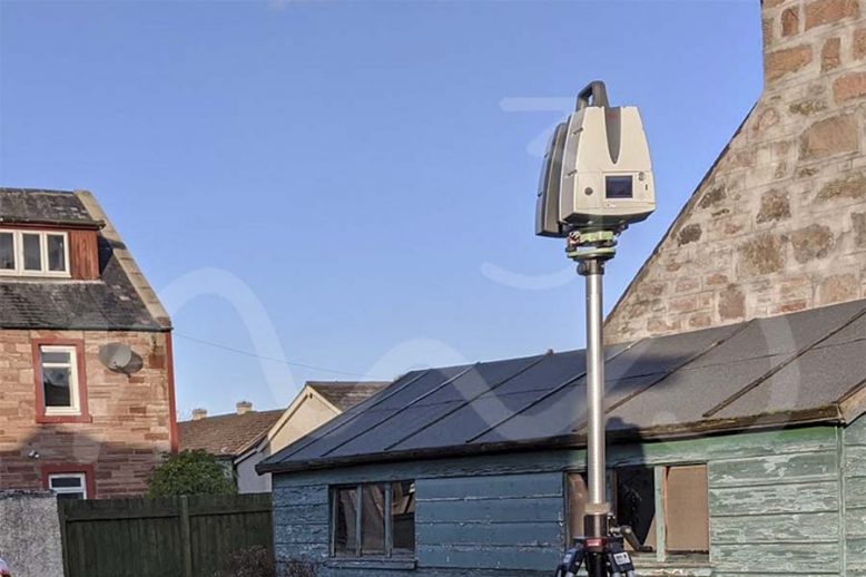
InterUrban Developments Ltd – Laser Scanning for Topographical Survey, TruViews & Elevations
Recently, M3S Surveys Ltd were contacted by Interurban Developments to carry out a site survey in Inverness. The following products were required: Topographical Survey Elevation Drawings 3D Model From the products M3S Surveys delivered. The files & data were passed on to other professionals including a drainage engineer, architect and town planner. Interurban Developments Ltd…

