AEC (Architecture Engineering Construction)As Built 2D CAD DrawingsAs Built 3D Revit ModelAs Built Laser Scan SurveyAs Built SurveyBlogCyclone CoreIndustrialLand SurveyingLaser Scanning PolandLeica GeosystemsMEP (Mechanical, Electrical, and Plumbing)P40 Laser Scanner Laser Scanning In Poland

Measured Surveys In Poland

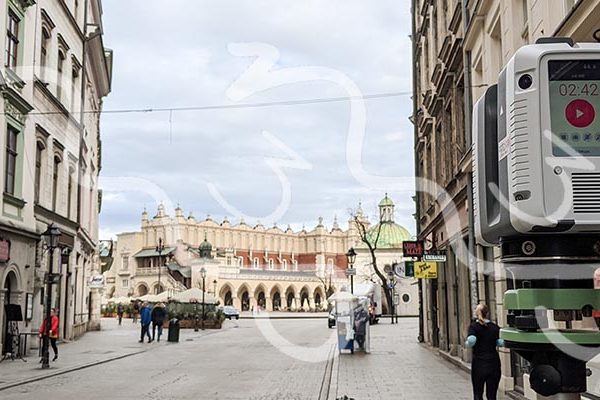
Measured Surveys In Poland   M3S Surveys have been involved in carrying out measured surveys in Poland over the last 5 years. These range from residential property, hotels to large historical sites in cities including Kraków, Warsaw, Gdańsk, Katowice, Wrocław, Łódź and Kielce plus many smaller towns and rural areas. Our primary method of survey…
Read article
As Built 2D CAD DrawingsAs Built 3D Revit ModelAs Built Laser Scan SurveyAs Built SurveyLand SurveyingLaser Scan Measured Building SurveyLaser Scanning PolandLaser Scanning ScotlandLaser Scanning UK Winter Laser Scanning - Snow & Ski Shop

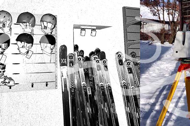
Laser Scanning Measured Building Survey – Snow & Ski Shop

Laser Scanning Measured Building Survey – Snow & Ski Shop       M3S Surveys Ltd – Laser Scanning, CAD, REVIT, Surveying and Photogrammetry Services: Terrestrial Laser Scanning (TLS) – https://www.m3s-surveys.com/services/terrestrial-laser-scanning/ Building Surveys (MBS) – https://www.m3s-surveys.com/services/measured-building-surveys/ Topographic Surveys – https://www.m3s-surveys.com/services/topographic-surveys/ Photogrammetry – https://www.m3s-surveys.com/services/photogrammetry/ Aerial Surveys – https://www.m3s-surveys.com/services/aerial-surveys/ Spatial Data Analysis & Processing – https://www.m3s-surveys.com/services/spatial-data-analysis-processing/ Links:…

Read article
As Built 2D CAD DrawingsAs Built 3D Revit ModelAs Built Laser Scan SurveyAs Built Measured SurveyAs Built SurveyLaser Scan Measured Building SurveyLaser ScanningLaser Scanning ScotlandLaser Scanning UKPlanning ApplicationsWhat Is An As Built Survey? Leica P40 - 3D Laser Scanner

As Built Measured Building Surveys – Architects, Planners, Engineers & Conservation

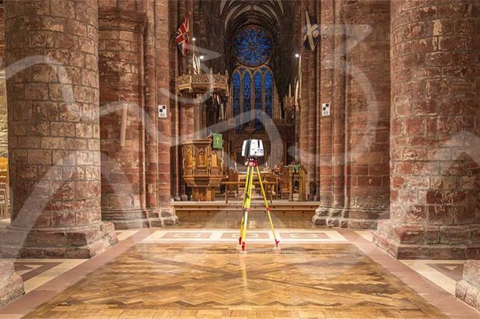
  Do You Need A Topographical or Measured Building Survey – Architects, Planners, Engineers & Conservation The M3S Surveys team have years of experience carrying out small to large scale as built measured building surveys using a range techniques including laser scanning. Many of our clients are work within the built environment and are architects…

Read article
As Built 2D CAD DrawingsAs Built 3D Revit ModelAs Built Laser Scan SurveyAs Built SurveyBlogLand & Property SaleLand AcquisitionLaser Scanning ScotlandPlanning ApplicationPlanning ApplicationsPlanning PermissionTopo Survey & Elevation Drawings For Planning ApporvalTown Planning Scotland Laser Scanning & Traditional Surveying Role In Planning Applications - Building Elevations and topographical surveys

Laser Scanning & Traditional Surveying Role In Planning Applications

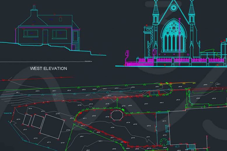
Planning Applications – more than just filling in a form! Planning applications can be quite a challenge, espeically when dealing with listed buildings. Laser Scanning & Traditional Surveying Role In Planning Applications has over the last few years become an essential combo for many surveyors.  Using the total station to establish survey control and the…

Read article
3D ModelAs Built 2D CAD DrawingsAs Built 3D Revit ModelAs Built Laser Scan SurveyAs Built SurveyAs Built SurveyBlogLaser ScanningMeasured Building SurveyRevit Model Laser Scan - As Built Survey

As Built Survey – Laser Scanning & Photogrammetry (Reality Capture)

The M3S Surveys Ltd team have been utlising laser scanners for the last 10+ years. With rapid advances in technology and software with both instruments and computing power the team have always kept up to date with this. While constantly reviewing and improving workflows in the field and within the software. There are a range…

Read article
3D ModelAEC (Architecture Engineering Construction)As Built 2D CAD DrawingsAs Built 3D Revit ModelAs Built Laser Scan SurveyAs Built Measured SurveyAs Built SurveyAs Built SurveyDo You An As Built Survey?Laser Scan Measured Building SurveyLaser ScanningMEP (Mechanical, Electrical, and Plumbing)Revit ModelWhat Is An As Built Survey?Who Does An As Built Survey? AEC & MEP Laser Scanning and Model

AEC & MEP Laser Scanning and Model

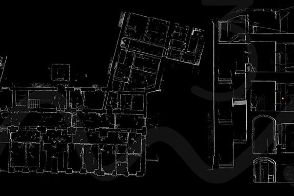
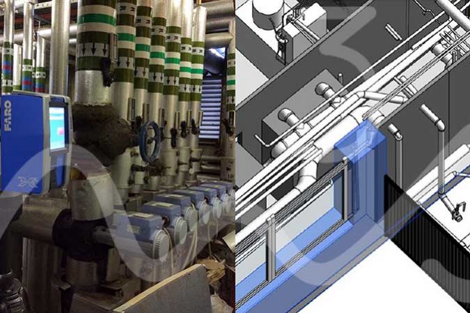
AEC & MEP: AEC (Architecture Engineering Construction) & MEP (Mechanical, Electrical, and Plumbing) AEC & MEP: Laser scanning allows for a rapid, safe and high-quality survey grade data capture of the built environment including those complex plant rooms for AEC & MEP projects.  Whether you work within urban planning, architecture, engineering and need as built…

Read article