Measured Building Surveys Poland
Measured Building Surveys Poland – our scanning teams to access some rather interesting and spooky places. With basements, attics to abandoned factories the team at M3S have all enjoyed exploring these areas while scanning to allow for a complete survey to aid the creation of plans and models.
Measured Building Surveying in Poland Using Laser Scanning
M3S use both a Leica RTC360 and Leica P40 laser scanner to capture the as built conditions on site. These scanners can capture data at rates of up to 2 million points per second on the RTC and up to 1 million points per second on the P40. To allow for a complete survey the team are often in basements, attics, abandoned buildings etc. The high quality data collected allows the team to create 3D models, floor plans, elevations and cross sections. As well as extracting topographical data on suitable sites.
Captured Data LIDAR From Measured Surveys – Cyclone Register 360 / Cyclone Core
Once the data has been captured on site, the data is imported to Leica Cyclone. If the RTC360 has been used with VIS is gets imported to Register 360 for an initial registration before being imported to Cyclone Core where full registration and further QC takes place. Once the registration, quality control and any additional survey control is added the registration is locked and the data exported to allow it to carry on to the production stage of the project.
Previous Measured Building Surveys
Our team has an office in Krakow with regular laser scanning in the city as well as further cities incluing Warsaw, Katowice, Wroclaw, Poznan, Lodz and Lublin.
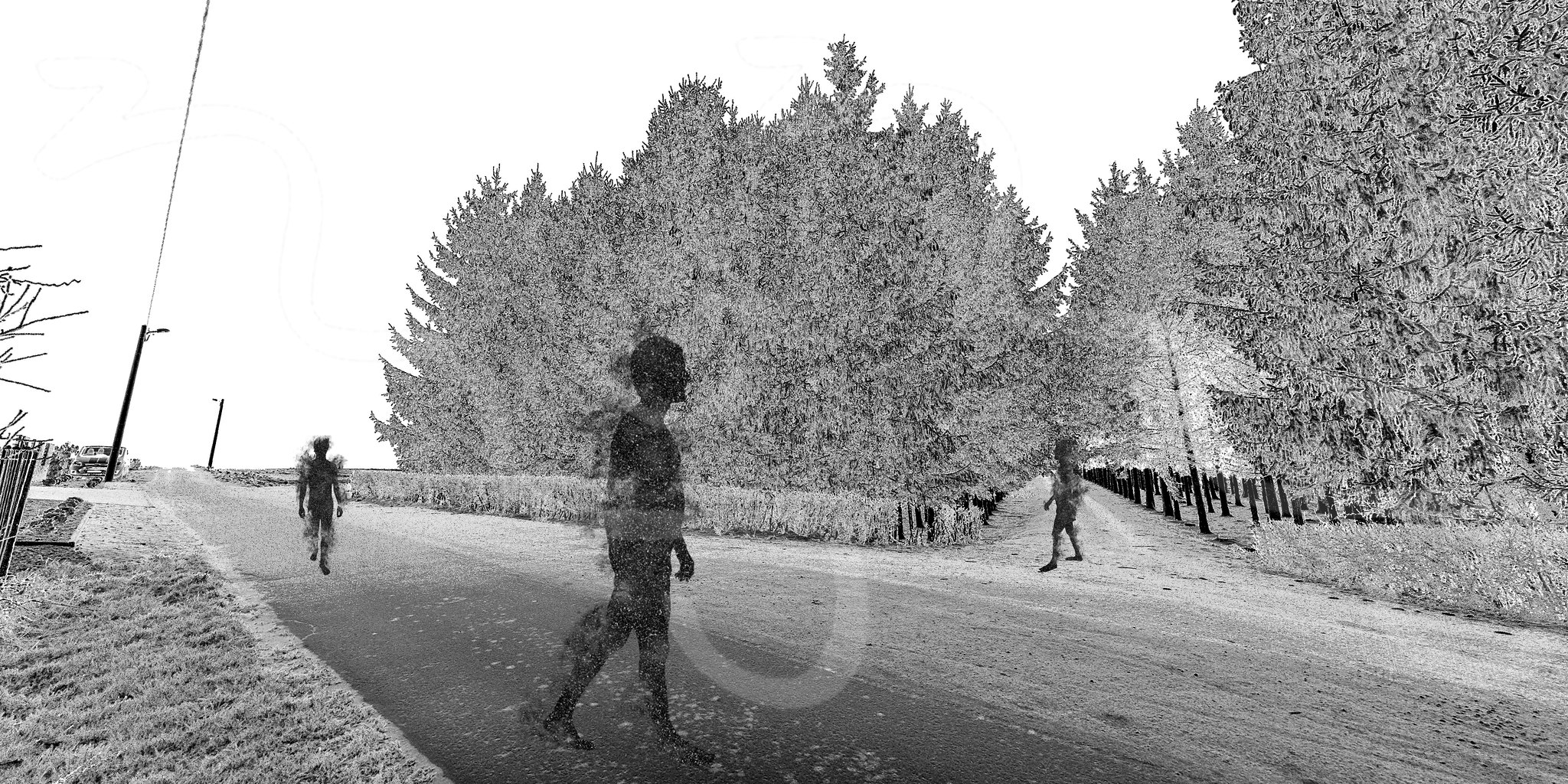
A haunting rural scene at a measured building survey with topo earlier this year a short drive outside Krakow. #MeasuredSurvey #LaserScanning #Topo #Halloween
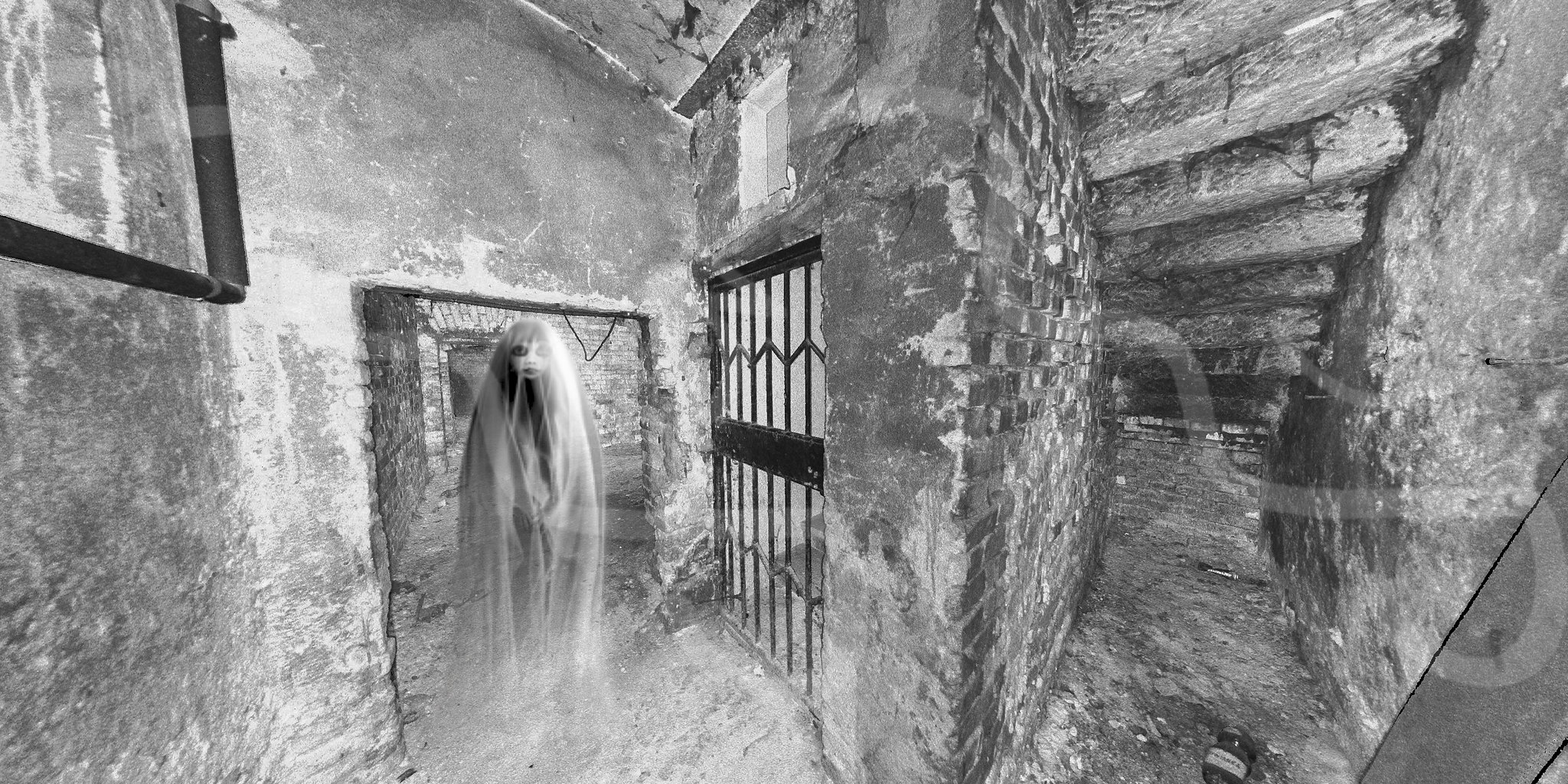
Down in the deep, dark basements of an abandoned building in Eastern Europe for a scan to Revit model. Cyclone Core didnt quite manage to clean out the ghosts. #Haunted #Scan2BIM #CycloneCore #EveryDetailMatters

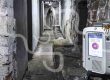
Our Scan Team were not so lucky when they surveyed this former factory – we have enough scan data for the crime scene team to investigate. #CrimeScene #Halloween2021 #EveryDetailMatters #JasonVoorhees #RTC360
More information can be found on the official Leica Geosystems website – click here
M3S Surveys Ltd – Laser Scanning, CAD, REVIT, Surveying and Photogrammetry Services:
Terrestrial Laser Scanning (TLS) – https://www.m3s-surveys.com/services/terrestrial-laser-scanning/
Topographic Surveys – https://www.m3s-surveys.com/services/topographic-surveys/
Photogrammetry – https://www.m3s-surveys.com/services/photogrammetry/
Aerial Surveys – https://www.m3s-surveys.com/services/aerial-surveys/
Spatial Data Analysis & Processing – https://www.m3s-surveys.com/services/spatial-data-analysis-processing/